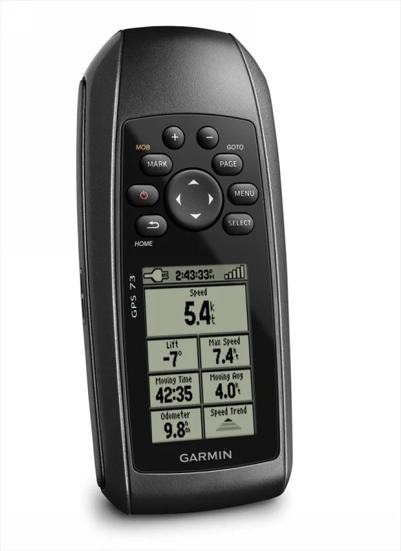
Garmin GPSMAP 79s
Garmin GPSMAP 79s Marine Handheld GPS with Worldwide Base Map
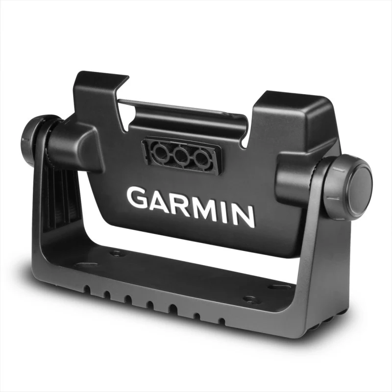
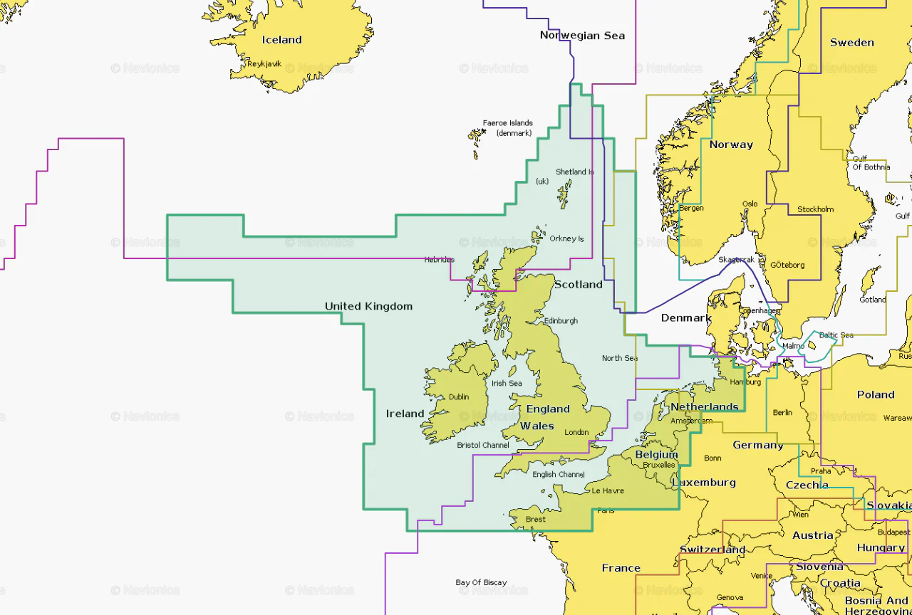
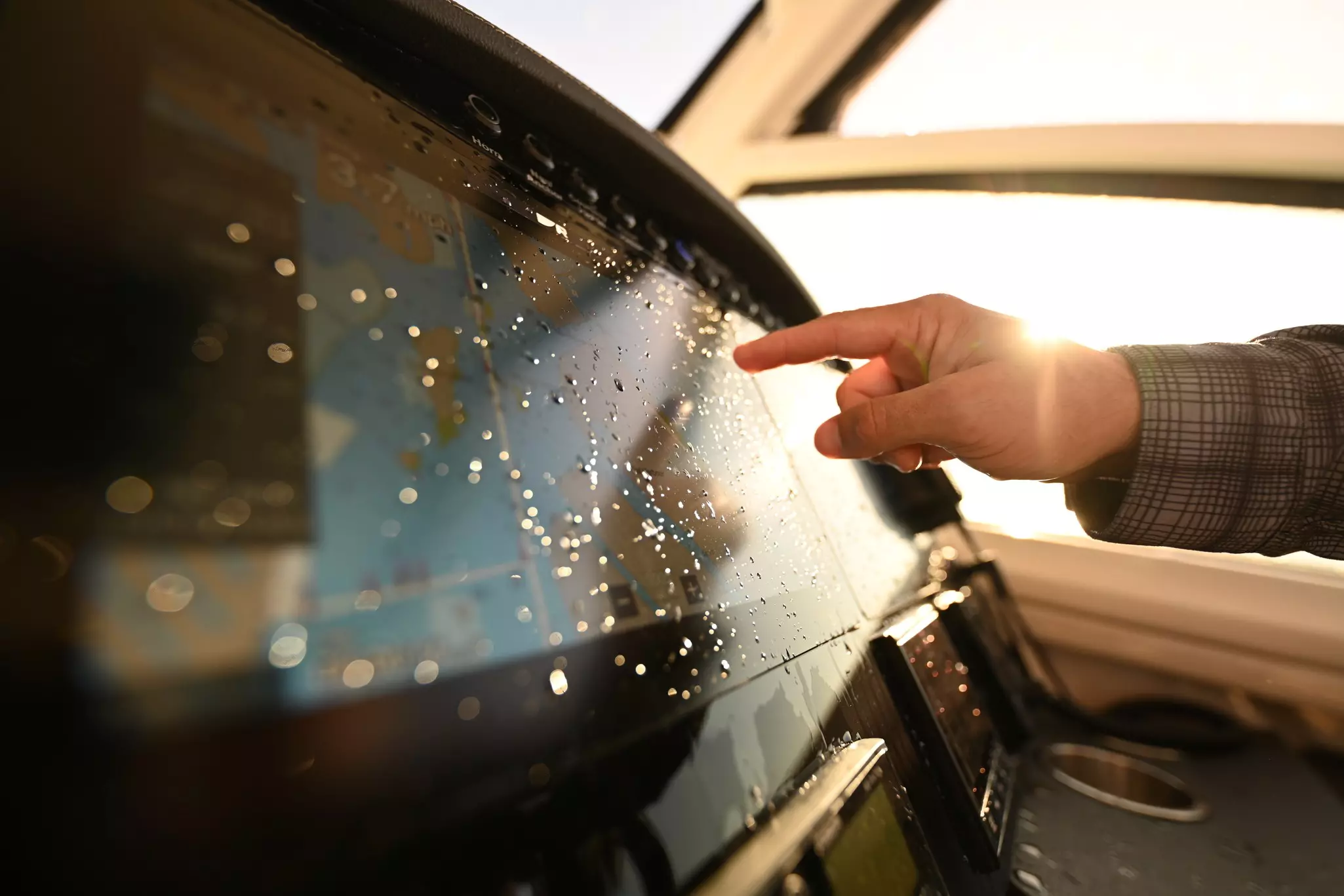
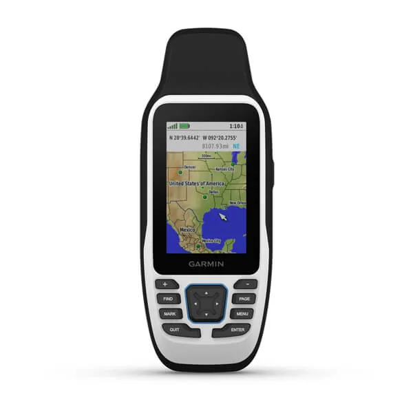
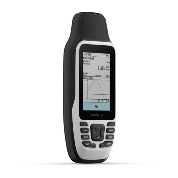
The GPSMap79s is a rugged, sunlight readable, IPX7 waterproof (1 metre depth for 30mins) handheld GPS that comes with a world wide base map with the option of adding BlueChart g3 charts to give it serious chart plotting capability. It can store 10,000 waypoints, stores routes and floats.
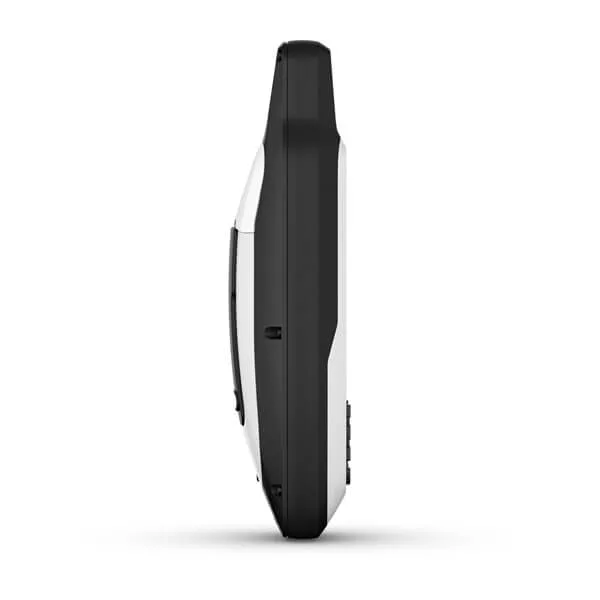
- Dimensions 6.77 x 17.40 x 4.23 cm
- Display Size 3.8 x 6.3 cm; 3" diag (7.6 cm)
- Resolution 240 x 400 pixels
- Display Type Transflective, 65K colour TFT
- 282g with batteries
- Water rating IPX7
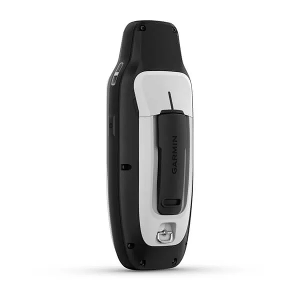
- 2 AA batteries (not included); NiMH or Lithium recommended
- Battery life Up to 19 hours
- MIL-STD-810 yes (thermal, shock, water); bare unit only
- High speed microUSB and NMEA 0183 compatible
- 8 GB memory
- Ability to add Blue Chart G3 Cartography
- Basemap included
- Waypoints 10,000
- Tracks 250
- Rinex Logging
- High Sensitivity Receiver, GPs, Glonass, galileo, QZSS, SBAS
- Compass
- GPS Compass while moving
Original: $371.46
-70%$371.46
$111.44Product Information
Product Information
Shipping & Returns
Shipping & Returns
Description
Garmin GPSMAP 79s Marine Handheld GPS with Worldwide Base Map
The GPSMap79s is a rugged, sunlight readable, IPX7 waterproof (1 metre depth for 30mins) handheld GPS that comes with a world wide base map with the option of adding BlueChart g3 charts to give it serious chart plotting capability. It can store 10,000 waypoints, stores routes and floats.
- Dimensions 6.77 x 17.40 x 4.23 cm
- Display Size 3.8 x 6.3 cm; 3" diag (7.6 cm)
- Resolution 240 x 400 pixels
- Display Type Transflective, 65K colour TFT
- 282g with batteries
- Water rating IPX7
- 2 AA batteries (not included); NiMH or Lithium recommended
- Battery life Up to 19 hours
- MIL-STD-810 yes (thermal, shock, water); bare unit only
- High speed microUSB and NMEA 0183 compatible
- 8 GB memory
- Ability to add Blue Chart G3 Cartography
- Basemap included
- Waypoints 10,000
- Tracks 250
- Rinex Logging
- High Sensitivity Receiver, GPs, Glonass, galileo, QZSS, SBAS
- Compass
- GPS Compass while moving